A severe thunderstorm watch has been issued for parts of the Chicago area as of March 26, 2026, at 4:21 PM UTC. The watch is currently in effect for LaSalle, Grundy, Will, and Kankakee counties in Illinois, as well as Lake, Porter, LaPorte, Newton, and Jasper counties in Indiana.
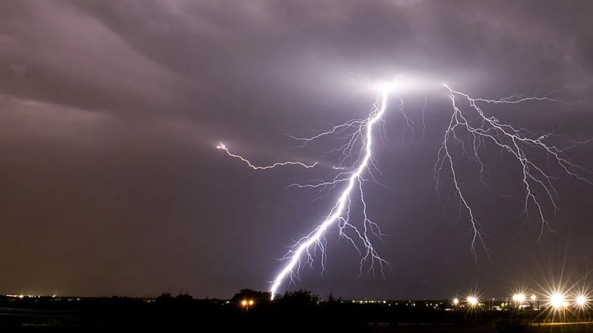
Weather officials have warned that large hail and damaging winds are the primary threats associated with these storms. Wind gusts are expected to reach up to 65 miles per hour, while hail could exceed two inches in diameter.
As the evening progresses, strong-to-severe thunderstorms are predicted to develop from about 6 PM Thursday through 1 AM Friday. This severe thunderstorm watch also extends through midnight Thursday for much of northern Indiana, including Indianapolis.
Residents in the affected areas are urged to stay alert as conditions may deteriorate rapidly. The National Weather Service has indicated that parts of the Chicago area are at an ‘enhanced’ risk of severe storms today.
As of now, the situation remains dynamic, with meteorologists closely monitoring the development of these storms. Those in the watch areas should prepare for potential severe weather and stay tuned for updates.
Details remain unconfirmed regarding the exact timing and intensity of the storms, but the potential for severe weather is significant and warrants caution.