As severe weather looms, a tornado watch has been issued for 13 counties in Wisconsin, including Milwaukee, Waukesha, and Racine. The National Weather Service announced the watch around 1:45 p.m. on April 2, 2026, as conditions became favorable for the formation of tornadoes.
In Northeast Ohio, a tornado watch is in effect for Summit County until 11 p.m. tonight, with heavy rainfall and minor flooding expected. Meanwhile, the Chicago area is also under a tornado watch until 8 p.m., with severe thunderstorms capable of producing tornadoes predicted.
Wind gusts in Wisconsin could reach up to 60 mph, and hail ranging from quarter- to 2-inch sizes is anticipated. In the Chicago area, wind advisories are set to go into effect, with gusts expected to hit 45 mph.
ABC7 AccuWeather meteorologists have highlighted that the main tornado threat in the Chicago area is along and west of Interstate 39. The area is currently at a Level 3 risk for severe weather, while Northwest Indiana faces a Level 2 risk.
As the storms approach, O’Hare Airport has implemented a Ground Stop, leading to average delays of 375 minutes for flights. Travelers are advised to check their flight status and prepare for significant disruptions.
“If you’re going to be out and about this late afternoon and evening, I would just make sure you have a plan in place of where your immediate shelter is and how long it takes you to get there,” said Taylor Patterson, urging residents to stay vigilant.
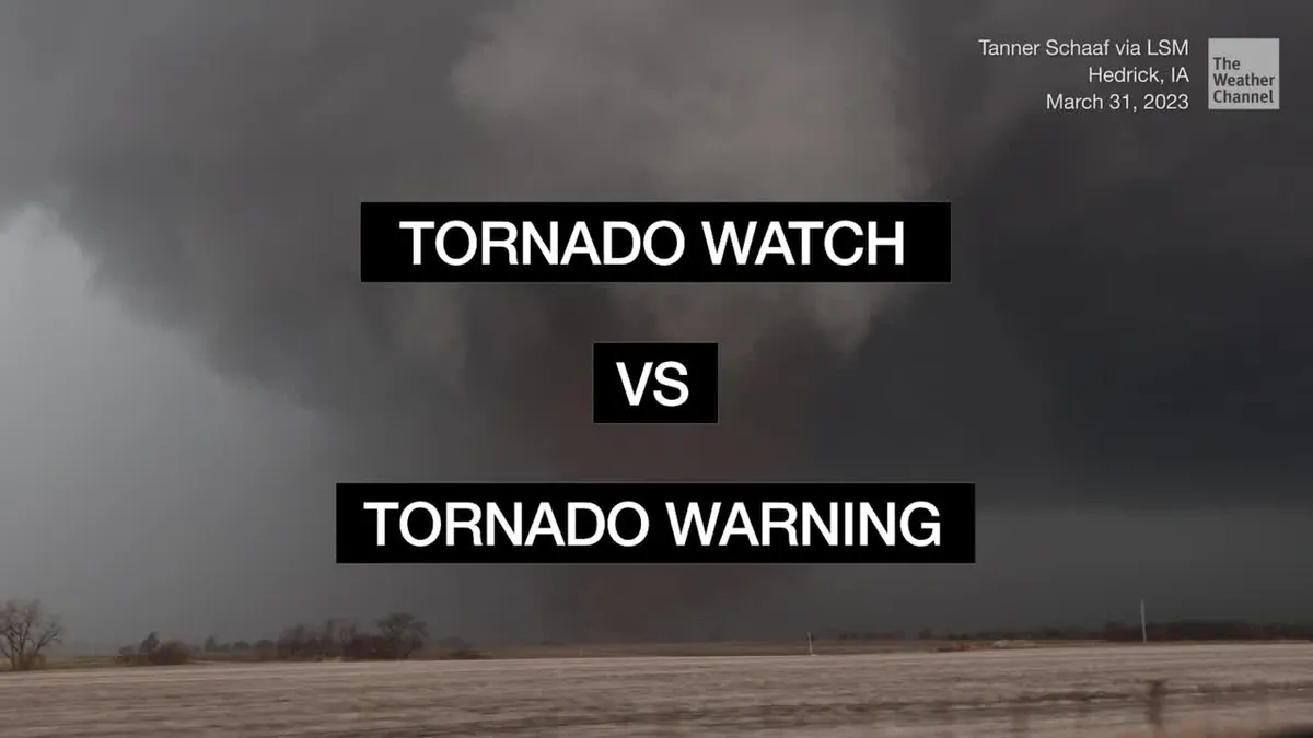
The tornado watch serves as a crucial alert, indicating that conditions are ripe for tornado formation, although it is less severe than a tornado warning.
This developing situation underscores the importance of preparedness as communities brace for potentially dangerous weather conditions. Residents are encouraged to stay informed through local news and weather services.
Details remain unconfirmed as the situation evolves, and officials continue to monitor the weather closely.