A winter storm warning is in effect for the Sierra Nevada, with significant impacts expected as heavy snow and high winds threaten the region. The National Weather Service (NWS) has issued this warning for elevated mountain areas, particularly the West Slope Northern Sierra Nevada and Western Plumas County/Lassen Park above 4500 feet.
Snow accumulations are projected to reach between 12 to 18 inches above 4500 feet, with the highest peaks potentially receiving up to 2 feet of snow. Winds are also expected to gust as high as 45 mph, creating hazardous conditions.
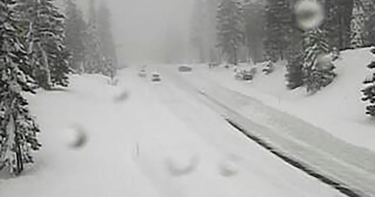
The warning is set to last until 11 PM PDT on April 12, with travel highly discouraged due to slick and treacherous road conditions. The UC Berkeley Central Sierra Snow Lab reported nearly 8 inches of snow on April 11, indicating the storm’s intensity.
Initially, the NWS launched a winter storm watch alert for the Sierra Nevada on April 10, highlighting the potential for severe weather. Officials have warned that whiteout conditions are expected, with visibility potentially dropping below a quarter mile, making travel treacherous and potentially life-threatening.
Travelers are advised to delay their journeys if possible and to use extreme caution if travel is unavoidable. The storm is expected to continue impacting the region into Sunday evening, with additional snow accumulations of up to 14 inches anticipated in some areas.
This late-season event underscores the Sierra Nevada’s reputation for dramatic weather swings, even in April. As the storm progresses, residents and travelers alike must remain vigilant and heed warnings from local authorities.