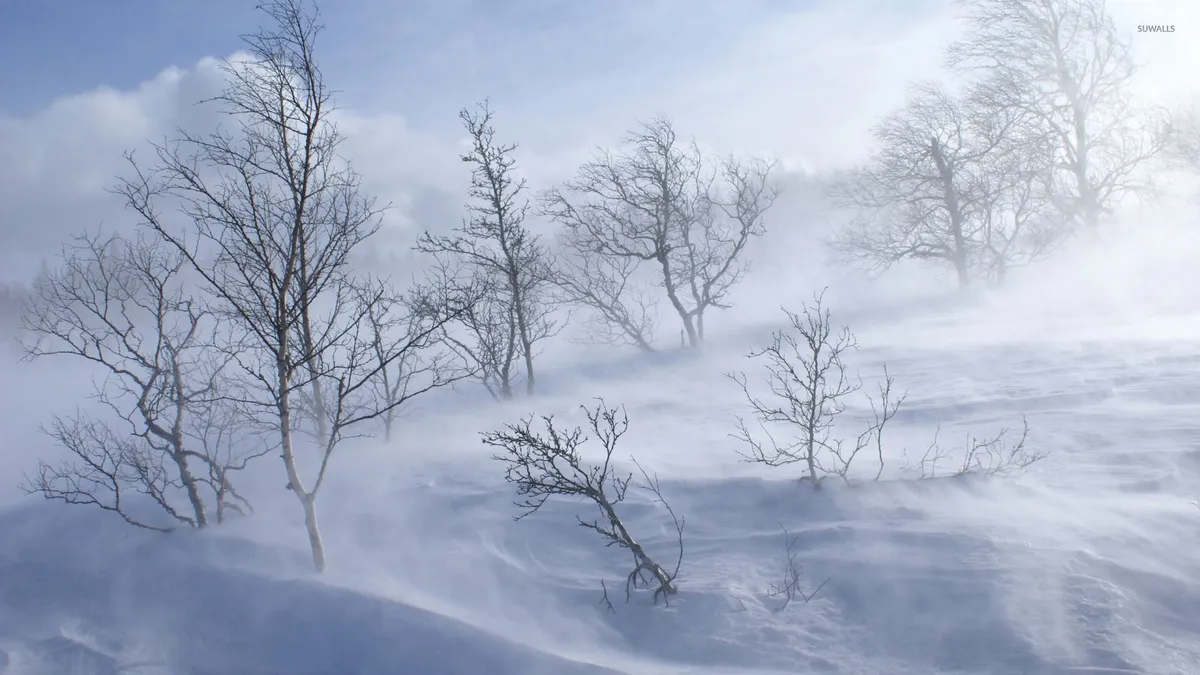
A powerful late-season winter storm is set to hit the Sierra Nevada region on May 1, 2026. The storm is expected to bring unprecedented snowfall and dangerous driving conditions.
Forecasters predict heavy snow totals of up to 4 feet. Wind gusts may reach between 50-70 MPH along the Sierra crest, with local gusts hitting up to 80 MPH.
Before this storm, expectations were for milder weather. However, temperatures will drop significantly, with snow levels falling from 7,000 feet to as low as 4,500 feet.
Chain requirements are likely to begin for most vehicles at elevations above 5,000 feet. This means drivers must be prepared for chain control measures.
The storm is expected to bring blizzard conditions, leading to potential road closures. Major routes like I-80 and Highway 50 may face multi-hour closures starting Sunday night into Monday.
The cleanup process will be hampered by continued freezing temperatures throughout the week. Experts warn that these conditions will limit snow melt.
Winter driving tips:
- If you have to travel, watch out for specific mountain passes like I-80 (Donner Pass) — very high risk.
- Drivers are legally required to clear snow and ice from their vehicles before hitting the road.
- The system arrives Sunday evening, peaks Monday, and tapers Tuesday afternoon.
This storm poses a significant challenge for residents and travelers alike in the Sierra Nevada region. Stay informed about road conditions and safety guidelines as the situation develops.